Google Maps upset Ukrainians' positions photos: Russians actively using snapshots.


Updated Google Maps photos 'revealed' the locations of Ukrainian military positions.
Head of the Center for Countering Disinformation (CPD) Andriy Kovalenko reported that updated Google Maps photos revealed the locations of Ukrainian military positions. He appealed to Google Maps to correct this situation, but received a response that it was impossible due to the weekend. Russians, in turn, are actively using these snapshots.
"Imagine the situation. Google posts updated images on maps showing the locations of our military systems. We asked them to quickly correct this, but they said they are off on weekends. Russians are already actively using these snapshots. What is wrong with this world?" - Kovalenko wrote.
After the public reaction, the head of CPD reported that he contacted Google representatives. They are already working on correcting the situation with snapshots of the locations of Ukrainian military systems.
"We will also discuss how to promptly resolve similar issues in the future," - Kovalenko added.
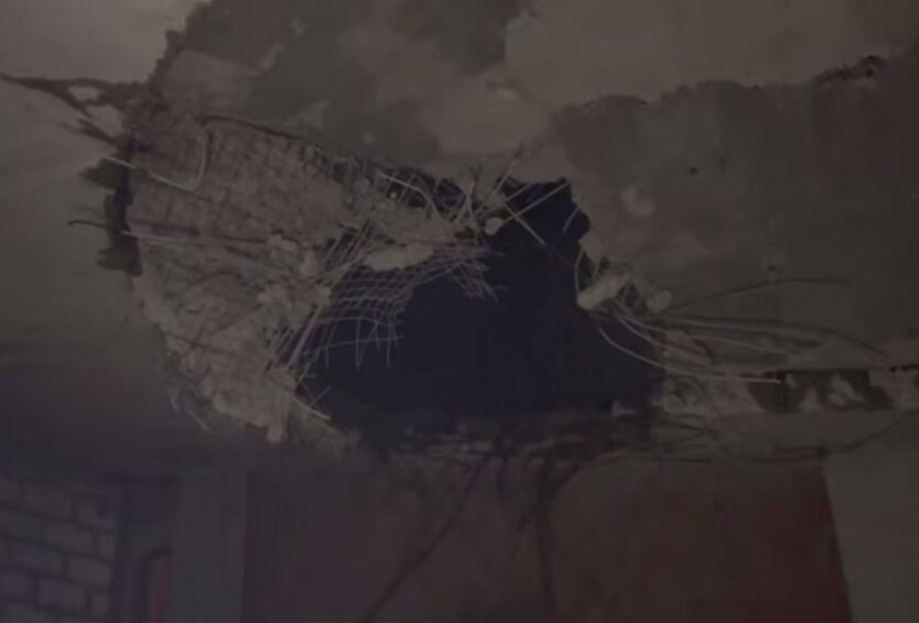
Reminder, Russia attacked Kyiv and the region with drones overnight.
Read also
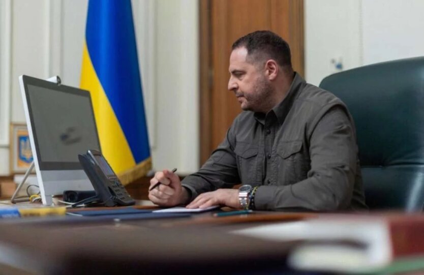
- Ukraine is not ready for negotiations: Yermak revealed details of the conversation with advisors on the security of Western countries
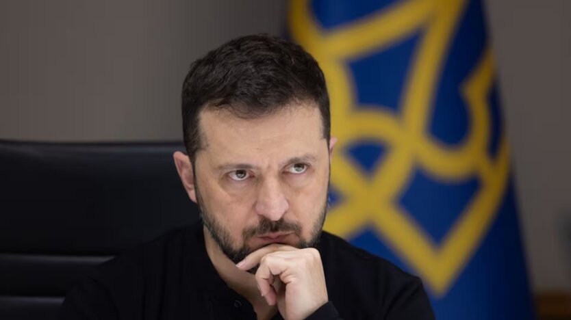
- Zelensky held a 'Technological Stake': priorities marked for drone production
- The Ministry of Foreign Affairs revealed the scale of Russian terror with cluster munitions
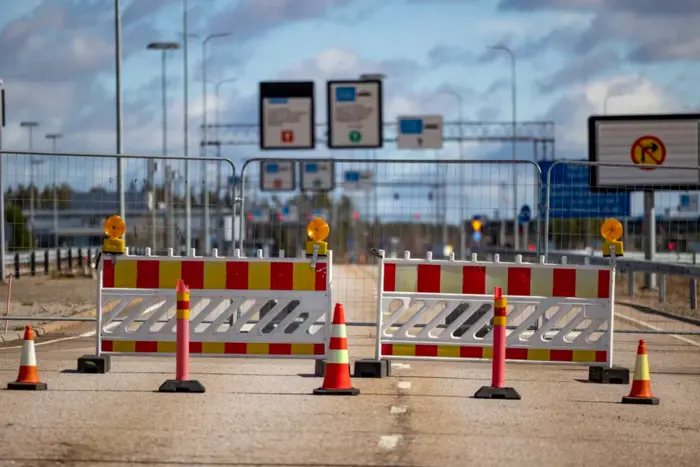
- The European Parliament rejected the consideration of the petition regarding the Finnish-Russian border
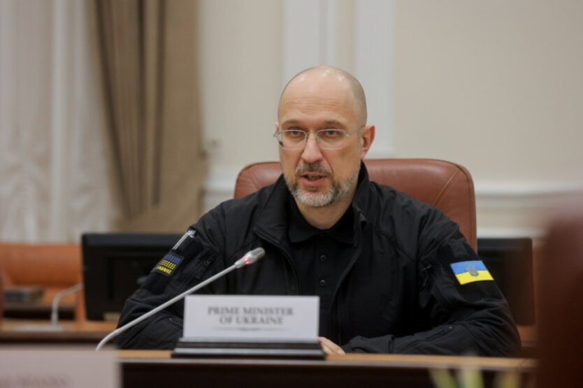
- It is very important to protect the population: Shmyhal has given instructions regarding electronic warfare
- Russians have changed their assault strategy - Defense Forces